ACCURATE, FAST
DATA COLLECTION
Working under a South Carolina-licensed Professional Land Surveyor with 33 years experience, we reduce survey and mapping costs using industry leading drone sensors while meeting legal standards
ACTIONABLE DELIVERABLES
Ortho-imagery, DEM / DTM / TIN, Contours, Planimetric Extraction, Area/ Volume Calculations, GIS Feature Extraction, A.I. Feature Counts, Asset Location, Classified Point Clouds, 3D Models, Shapefiles, GeoDatabases
EMPOWERING GIS SOLUTIONS
As an ESRI Silver Parnter, Aloft Geographic offers custom GIS services and training to a wide range of customers including federal, state, local, and commercial businesses to manage land, assets, and personnel


Aloft’s GIS, GPS & Remote Sensing services can bring near real-time, actionable information to your employees, managers, and stakeholders

From our ArcGIS Jumpstart services to Custom App Development and Data Management Services, Aloft Geographic helps you take your data out of the office and into the field with customized web maps, applications, and training that fit your organization’s needs


A few things we’re great at:
Acquire, develop, and solve spatial data….that’s what we do
AERIAL LiDAR – Elevation Data
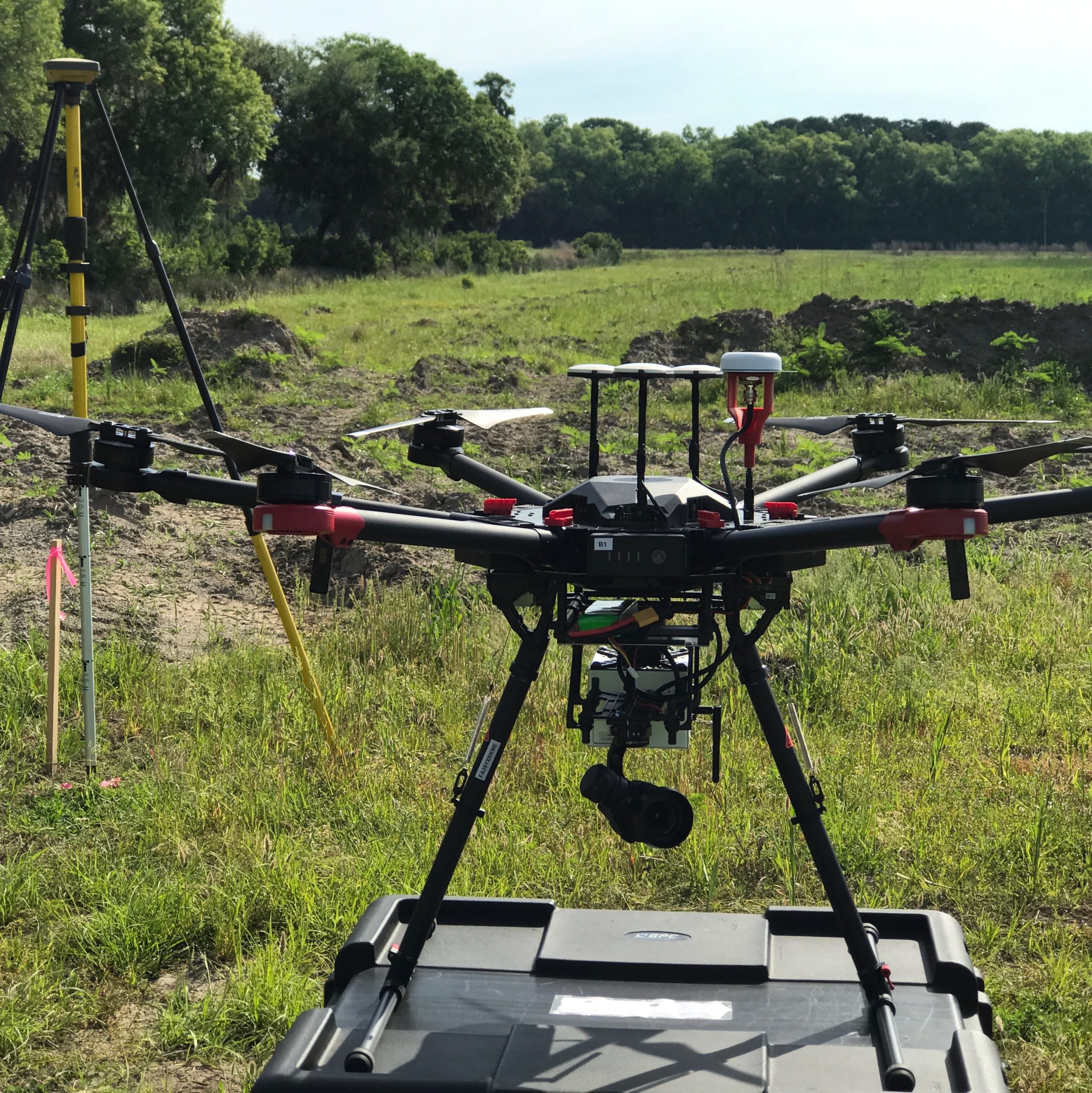
Our in-house speciality, we pride ourselves on providing accurate elevations +/- 0.1ft acquired using LiDAR technology on drones & terrestrial platforms with fast turn-around time of your DEM/ DTM/ Contours. Let us save you time and money on your land development and management projects
LiDAR ServicesGIS- Work Order Management Solutions
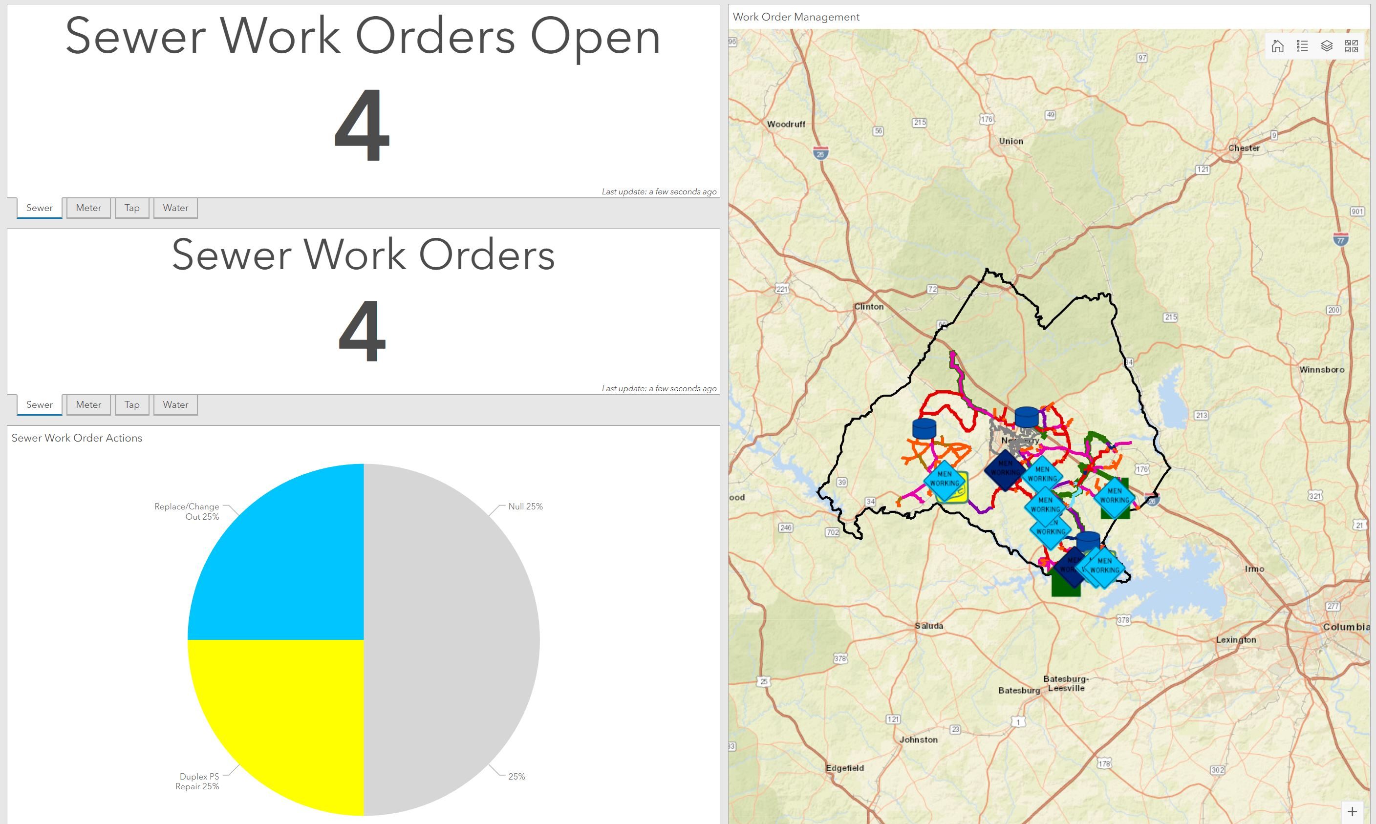
Move off of paper and onto easy to use, reliable web applications. Our work order management apps empower employees to live-update work from the field, enabling real-time managment and analysis back at the office
GIS AppsDETAILED IMAGERY
With the experience of +1,000 UAV flights since 2016, our pilots and technicians are adept at collecting and processing 1-5cm/px RGB orthorectified images for use in your Marketing materials, CAD projects, and GIS Basemaps
Drone ServicesGIS – Story Maps
We love parterning with our clients to produce custom story maps to show off your campus, city, trails system, economic development sites…you name it! Embed it in your own site or make available to the public for download using QR codes
Custom Maps