Maps and Visualizations Designed with the End User in Mind
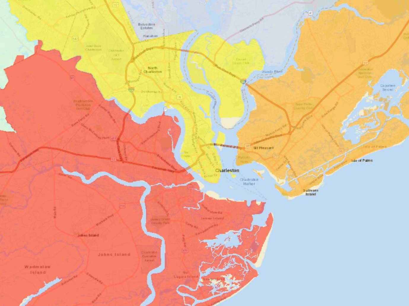
Effectively communicating what your results have found can more than often be the most challenging part of any project. Let us show you how GIS can turn your data into a comprehensive and visually appealing display of information where the simple chart or graph falls short. Allowing your audience to see data in, and on, the real world improves their understanding of it as well as its direct relevance to themselves.
Each project begins with a consultation to clearly identify your project’s objectives, target audience, and optimal software program. From there, our experts design customized top-notch maps and apps with your data from any source format: databases, spreadsheets, or paper files. Whether you want to show changes over time or the nearby trail systems, our interactive maps will get your information out to consumers on any device.
Looking for something new? We can now work with you to create ‘story maps’ that combine our same high-quality maps with pictures, narrative text, and multimedia content.


