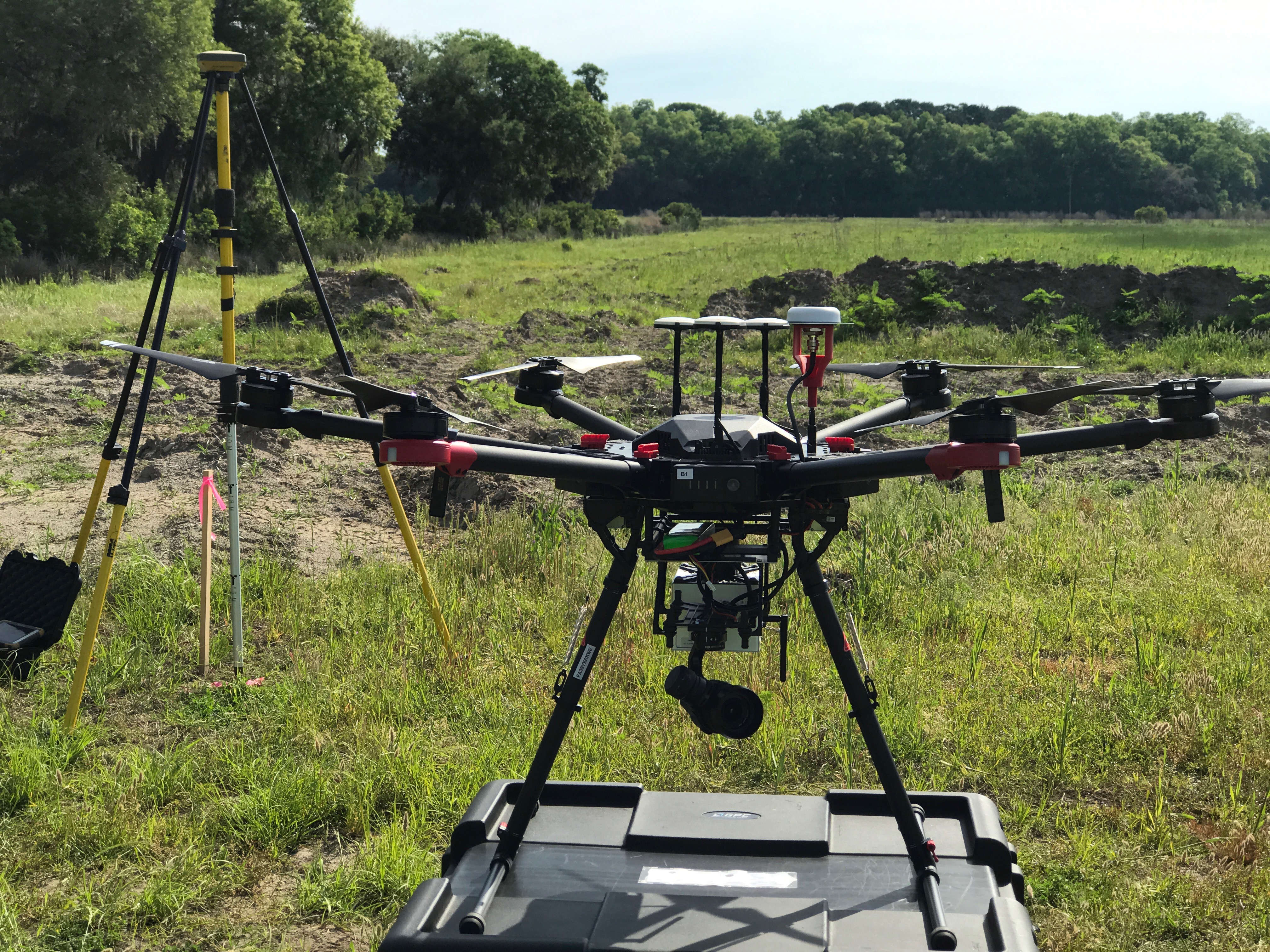
Accurate Data
Survey grade accuracy (0.1ft V) for topography, stockpiles, cooridors, archaeological sites and environmental surveys
Quick Deployment
Our costs are well below traditional ground and aerial suveying costs with the added benefit of rapid deployment
Innovative Partnerships
We’re here to help you get the most out of our services. We seek first to educate on capabilities instead of selling
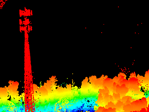
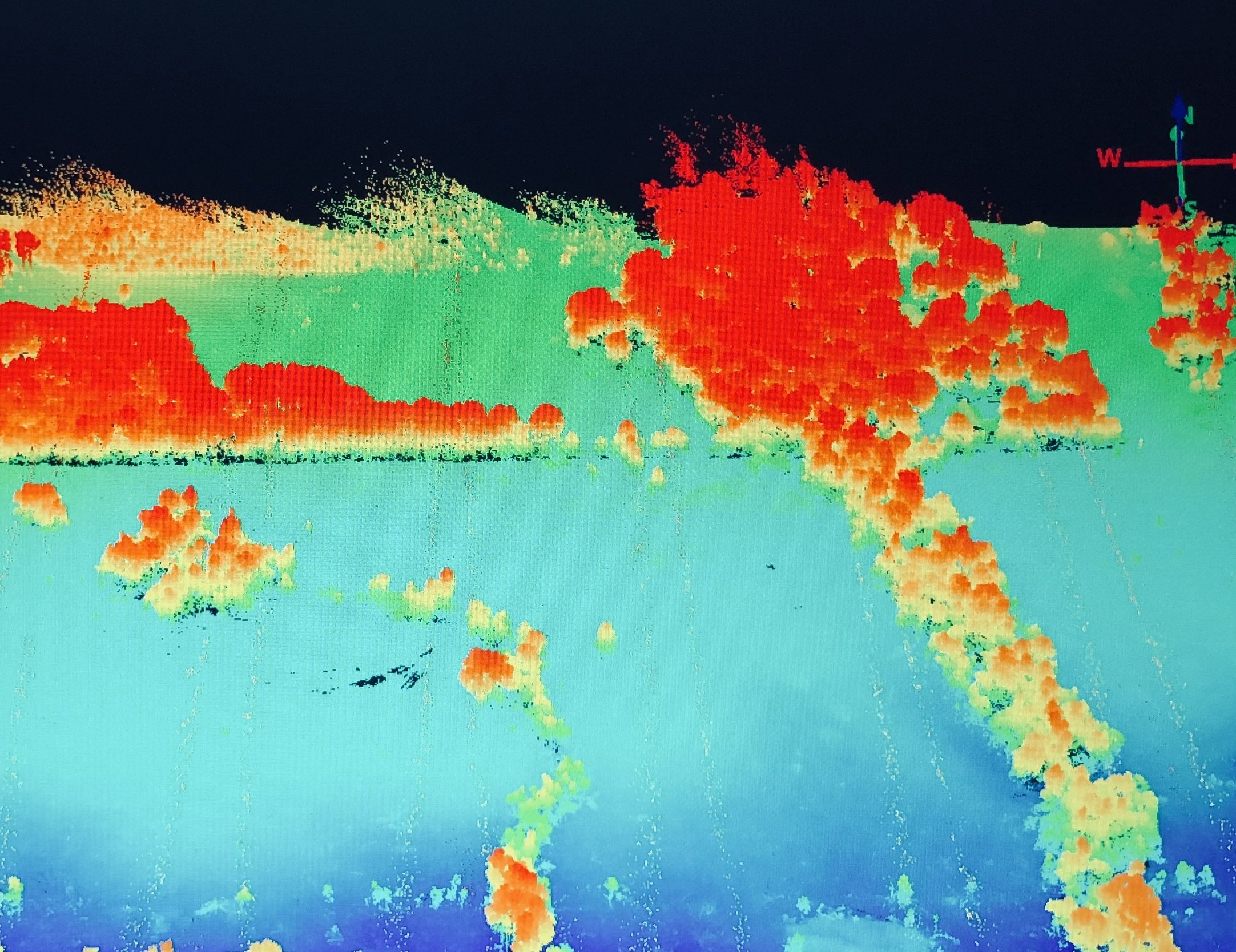
Portfolio
Here’s some examples our customers are so satisfied with they’re letting us share with you!
Get a Quote
With the Internet spreading linke wildfire and reaching every part of our daily life, spatial data is more important than ever. Let’s talk about how we can help bring your spatial project into the digital realm