Our Site Documentation Services Prevent Unneccesary Risks,Costs, and Time Constaints.
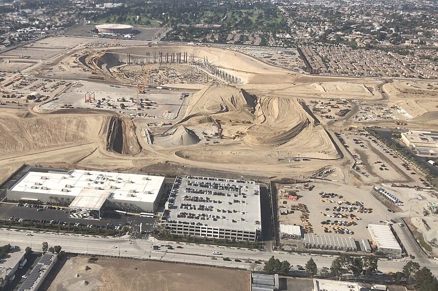
Given the competitive nature of today’s construction industry, it is more imperative that costly mistakes are avoided, and stake holders are well informed. Our aerial site intelligence services deliver unparalleled site documentation products with a quick turnaround that allow you and your customers greater insights and increases in efficiency.
With the use of drones, our company can provide yours with accurate, high-resolution imagery or videos in the increments of your choosing. Your project’s managers and stakeholders will then be able track and monitor progress, inspect sites remotely, and more. Further, you will have the ability to view the aerial imagery in the format of your choosing.
Our team of experts can provide you with maps in both physical and digital formats. Our CAD and GIS experts can overlay the plans, assets, designs, and other layers of your choosing. Moreover, we can provide you can create finished products that are interactive not only with 2-D maps, but 3-D models as well. With our helpful and reliable team, your reports will be more comprehensive than ever.
With the help of our site documentation services, you and your colleagues can avoid costly mistakes and prevent hazardous conditions that could lead to injury or project setbacks. You will be able to mitigate risks more effectively and make more informed decisions. Reach out to us for additional information, we will be happy to help.


