Let Us Help You Visualize Your Data
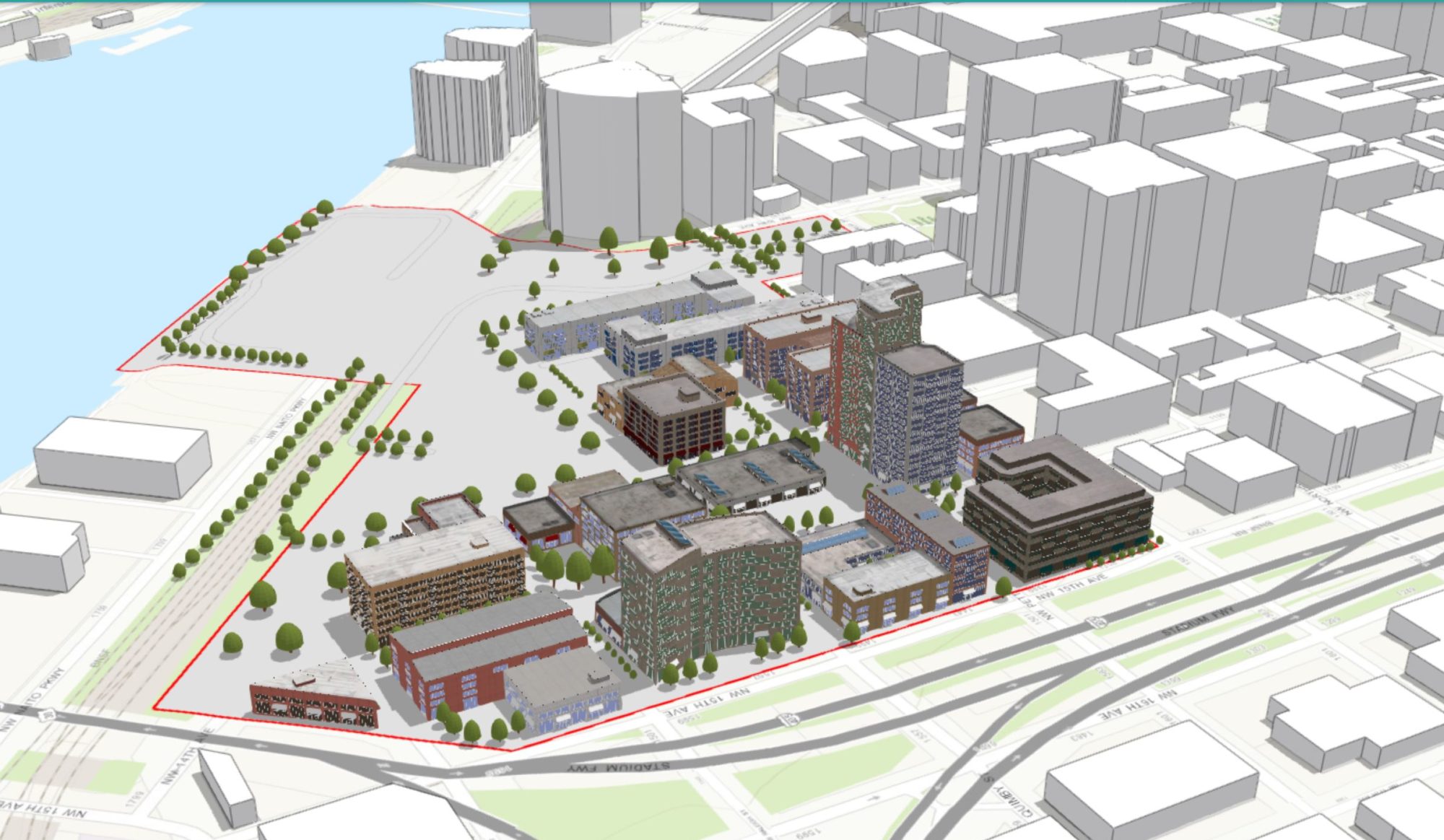
You supply the data and we will supply the maps. It’s time to show off your data and we can help. Here at Aloft Geographic, we can create interactive maps, static maps and apps using your data. We accept data from spreadsheets, databases, paper files, graphs, and charts.

Have an event coming up?
We can create custom story map apps to show off the highlights. Story maps can be embedded in your own site or available for the public to download using QR codes.

Need a park trails map?
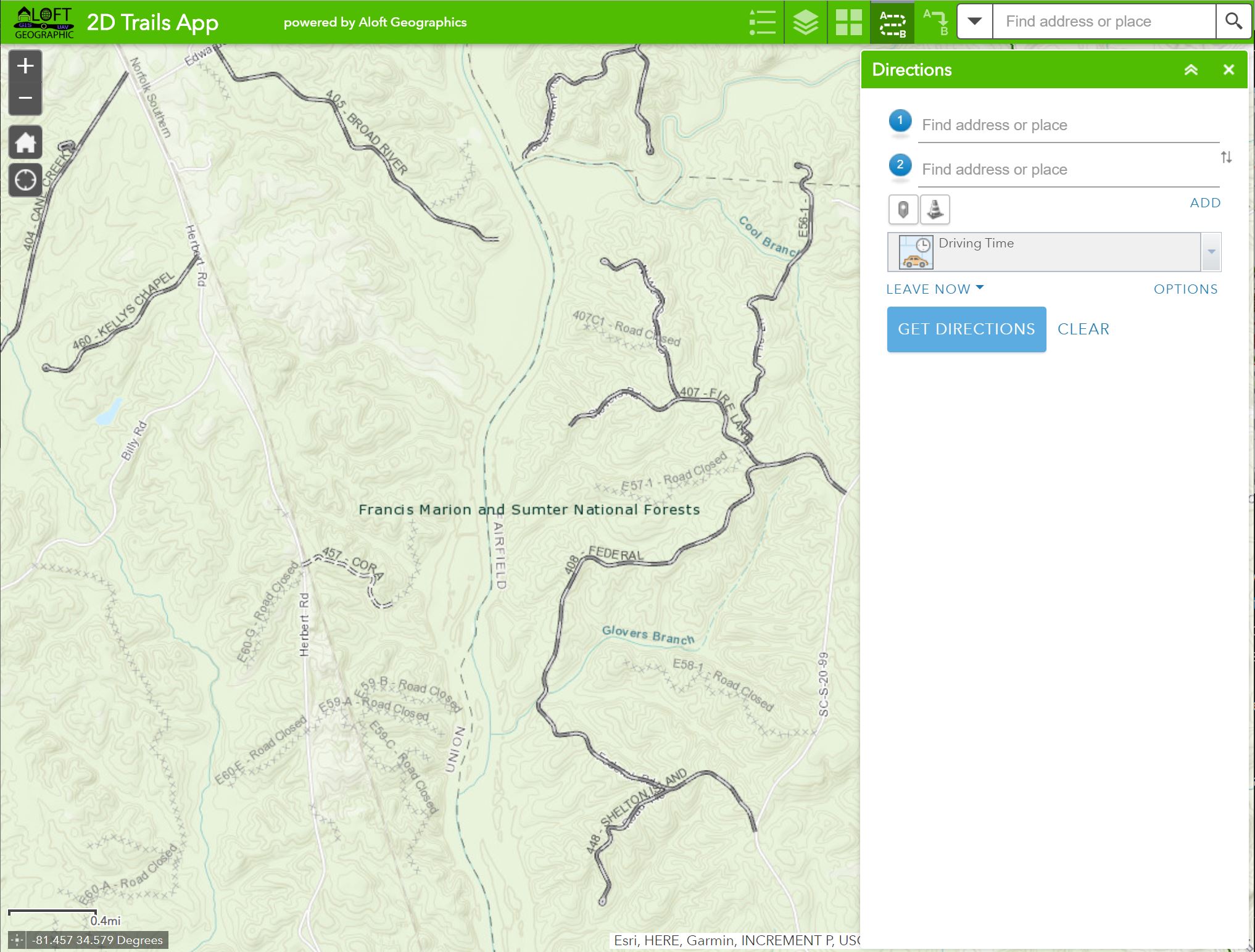
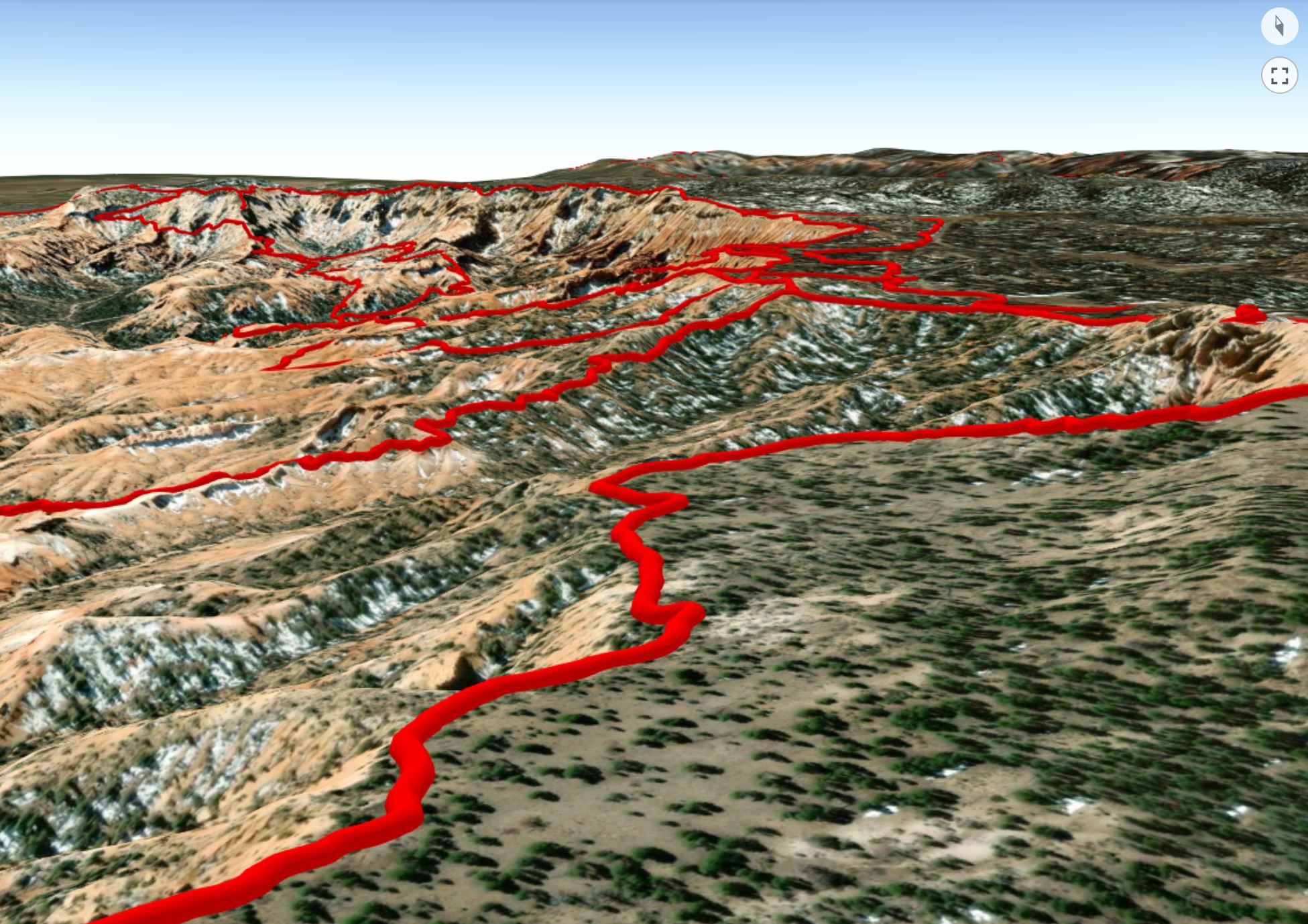
We can create an interactive or static map displaying all your trails. Trail maps can be made using 2D or 3D data. Trail maps can be made available for download using a QR code.

Have a specific request?
Feel free to contact us and we would be more than happy to help. Talk to us about an idea you have for your data and let us bring it to life.
Contact Us
Reach out to us for mapping and visualization services.
Email: gis@aloftgeo.com
Phone: 803.602.4996
