UAV for GIS
Aloft Geographic offers UAV deliverables that can be used to improve GIS services. Drones offer a fast and efficient way to collect data for many different uses.
Here are just a few examples on how to use UAV Services
Emergency and Disaster Recovery
Use UAV imagery, video, or 3D models for effective emergency management.
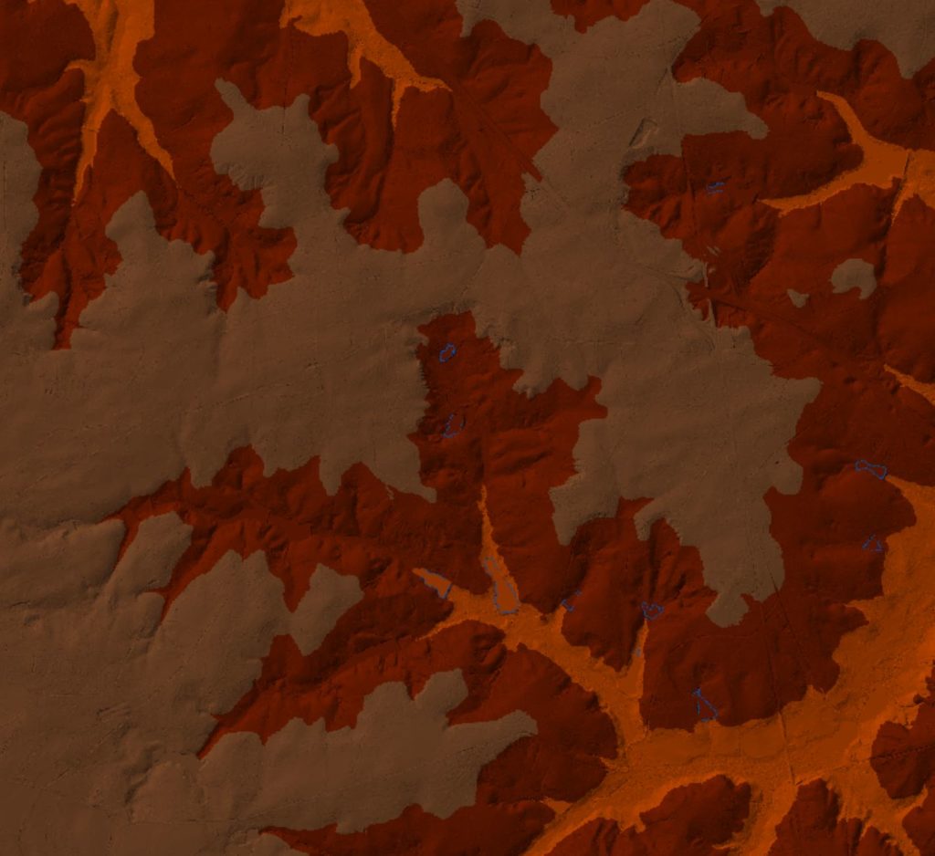
Collect LIDAR Data for 3D maps
Use Lidar data to create interactive 3D maps.
Survey Mapping
Save time, money, and be safer using UAV land surveying.

Our 5 Step Process
1. Design Flight Plan
2. Drone will be Launched
3. Data is Collected
4. Process the Data
5. Deliver your Imagery and Data.
Contact Us
Reach out to us and lets jumpstart your ArcGIS Online.
Email: gis@aloftgeo.com
Phone: 803.602.4996
